The Cotswold Way National Trail runs between Chipping Campden and Bath, the 102 mile route explores the Cotswolds AONB. The Cicerone Press guide describes the route in both directions over 13 stages, the Cotswold Way can be walked year round and is suitable for beginner trekkers. Includes separate OS 1:25,000 map booklet of the route in the guide.
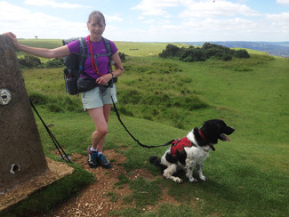
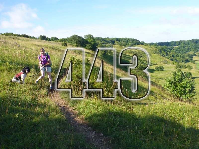
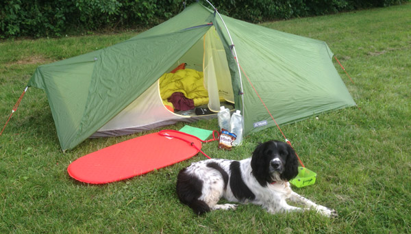
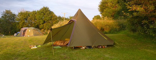
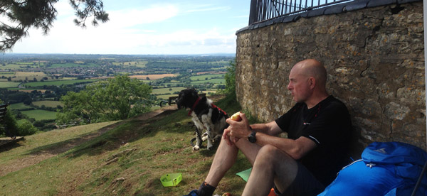
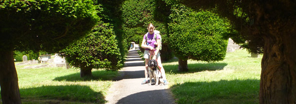
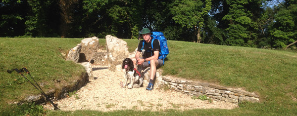
Rose undertook this walk with her Springer Spaniel ‘Pip’ over a period of three weekends in a variety of weathers. Weekend 1 – Chipping Campden to Birdlip (camping at Hayes Fruit Farm), weekend 2 – Birdlip to Wootton Under Edge (camping at Thistledown Campsite) and weekend 3 – Wootton to Bath.
Gear was chosen to make this as light a walk as practically possible, however the sacrifice was not to take any cooking gear in exchange for the dog accessories. The weather on the first two weekends was very warm and sunny and the last the opposite, cold and wet.
Her bible was the Cicerone Press guide and Harvey Maps which between them provided reliable information she required throughout.
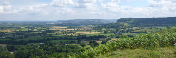
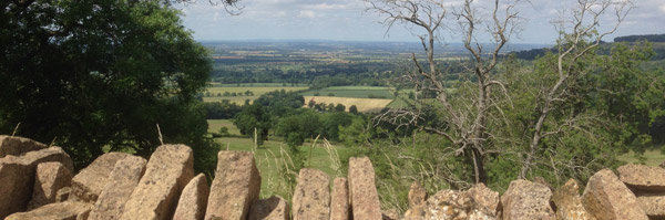
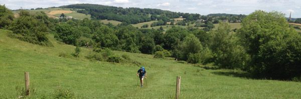
The route in the guidebook is described over 13 stages, each following the Cotswold escarpment, with dramatic and far-reaching views across the Severn Vale towards the Welsh hills, plunging down to visit honey-coloured villages, old market towns and the elegant and historic city of Bath.
The longest of the 13 stages is 10 miles, the shortest 6 miles: these are dictated by the existence of overnight accommodation. For the determined, the trail can be walked in as little as five days.
The Cotswold Way offers a wonderful walker’s landscape, featuring beautiful woodland, pretty cottages and ancient battlefields. The route can be walked all year round, and is suitable for walkers of 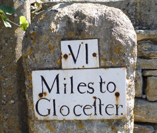 all abilities. The stage-by-stage route description is accompanied by maps at a scale of 1:100,000 (1cm to 1 mile) and full colour photographs. The guidebook also includes a map booklet showing the full route on 1:25,000 OS map extracts.
- Seasons
Can be walked all year round: accommodation is scarce during Cheltenham Festival (March) and Badminton Horse Trials (late April/May) - Centres
Chipping Campden, Cheltenham, Gloucester, Stroud, Bath - Difficulty
The Cotswold Way is a waymarked lowland walk suitable for all abilities: suggested day sections are in the region of 6-10 miles (10-16km) - Must See
Hailes Abbey, Belas Knap, Crickley Hill, Haresfield Beacon, Sudley Castle, Broadway, views of Kelston Round Hill, roman baths (Bath)
The Cirerone Press Guide breaks it down into the following stages.
Stage 1 Chipping Campden to Stanton – Stage 2 Stanton to Winchcombe – Stage 3 Winchcombe to Cleeve Hill – Stage 4 Cleeve Hill to Dowdeswell (A40) – Stage 5 Dowdeswell (A40) to Birdlip – Stage 6 Birdlip to Painswick – Stage 7 Painswick to Middleyard (King’s Stanley) – Stage 8 Middleyard (King’s Stanley) to Dursley – Stage 9 Dursley to Wotton-under-Edge – Stage 10 Wotton-under-Edge to Hawkesbury Upton – Stage 11 Hawkesbury Upton to Tormarton – Stage 12 Tormarton to Cold Ashton – Stage 13 Cold Ashton to Bath
Fascinating to hear some details about your inspirational walk, Rose. An area I should know well but need to explore further. Thanks for the interview Bob! Well done Pip – bet she loved it!