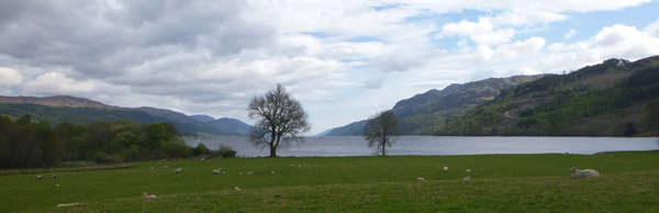
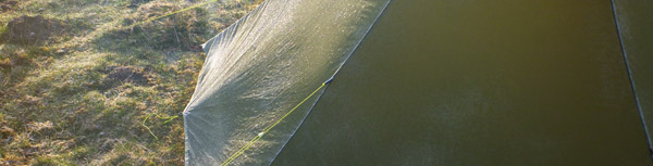
 After a good night in St Augustus, a reasonable breakfast in Morags Lodge we were set for the long trek up Glen Doe. There is a new path now heading out of Fort Augustus which leads walkers off the dangerous hairpin road along the much software aspects at the edge of Loch Ness before crossing the road and zig-zagging its way to link up with the construction path.
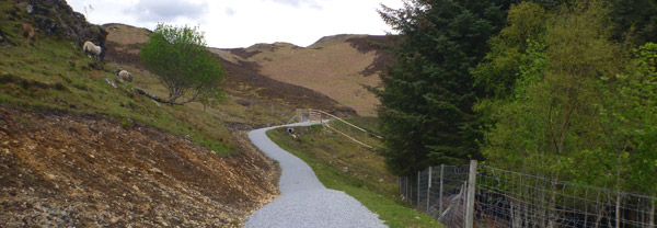
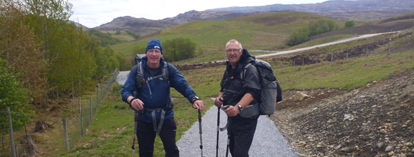
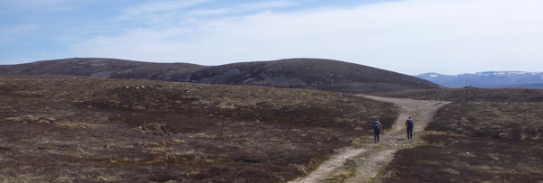
So far so good. It is a long haul up that path, but not different in many ways to the alternative route along General Wades Road. Both laborious but easily ignored when you have good company and endless banter to take your mind off the long uphill slog and the previous nights beer.
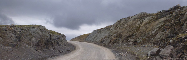
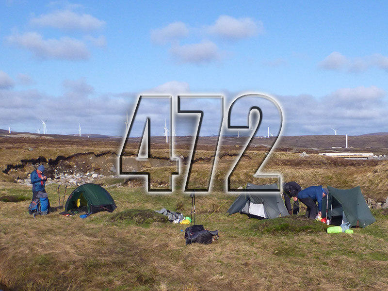
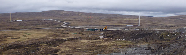
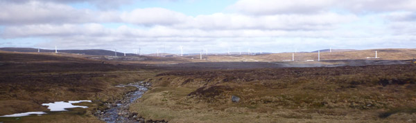
The last time I came up here a couple of years back, there was just me, the dam and some bitter wind. However now once you crest the highest point, there’s 12km of heavy duty wind farm construction. The track which used to be one vehicle wide, is now the width of a motorway.
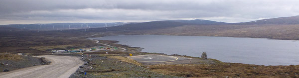
The land has been landscaped by bulldozers, rivers diverted and infrastructure installed which includes communications, helipads, concrete plant, repair sheds and countless portacabins. I lost count once I passed 80 wind turbines and all the various access roads to them. There must be closer to a 100. All of which made my mood darken substantially as we reached our goal at Chalybeate Spring.
 Even here it wasn’t sacred and one of our party Mick had established this was to be the centre of another turbine zone. in the next phase So this time next year, this once quiet hidden little spot could be no more.
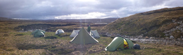
The mood amongst the dozen or so Challengers that night was very dark. All of us expressed how devastated we felt. It was a very emotional nights sleep not helped by the matching drop in temperature.
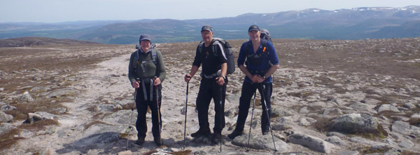
I was certainly paying for those shorter lazy days at the beginning of the trip. The route over the next few days took in some long sections, more than I had anticipated, all of which were familiar, however I had forgotten how long each of them required.
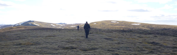
The Monadhliath Mountains are notorious for challenging your navigation skills. Even though between us we had 3 GPS’s, 3 maps and 3 compasses, we still managed to start off up the wrong slope and got almost to the top before we all realised where we went wrong and blamed each other of course.
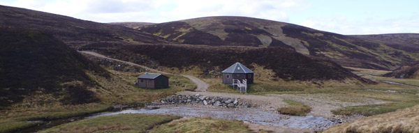
However the weather good, too good in fact. Sun beating down on us as we walked the ridge to Carn a Bhothain Mholaich before we dropped down with weary legs to the bothy, shaped like Hagrids House.
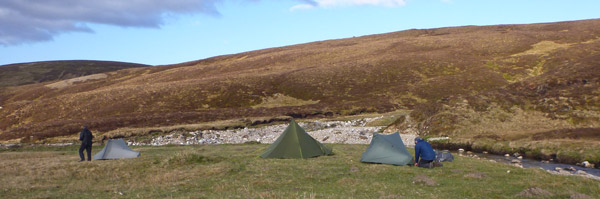
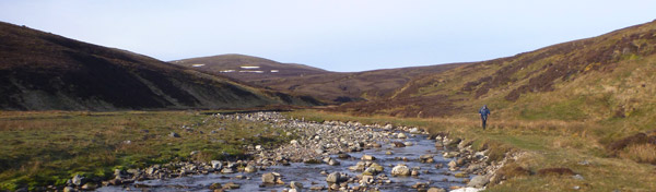
Lee and Tony wanted to push on and get an early start the following day so we continued along the River Dulnain to camp just before the Sheep Pens shown on the map. It was just 2 years since I had previous come this way and I was shocked by the amount of physical change in the river gorge. The whole landscape had altered. Such is the power of nature I guess, however in the 2 years it had become unrecognisable.
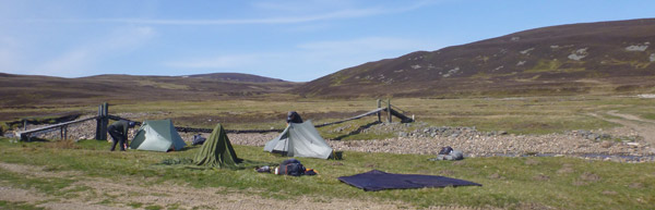
 It was a very cold morning on Day 7 and I was up at 5.30 trying to do some recording as I couldn’t sleep. My hands became so cold I couldn’t hold the recorded so I did the usual camp admin, got some hot drink into me and packed ready to leave sharpish.
The walk to the confluence wasn’t far and the day warmed up considerably, so much so we sat by the river and aired all the tents while we dozed in the sunshine. Then it was the sharp pull up to Carn an Fhuarain Duidh, across the normally bogy ground to Geal-charn Beag, then Geal-charn Mor before dropping onto the Burma road and the long descent into Aviemore.
 I had forgotten how long some of these tracks can be and after the previous day up Glen Doe I am looking forward to something less boring.
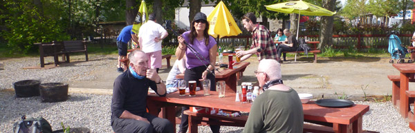
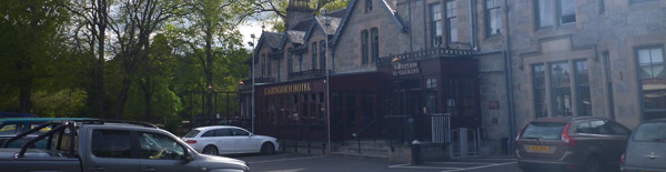
However the Cairngorm Hotel was as welcoming as ever, the Guiness was as cold as ever and the company as jolly as ever as we sat in the beer garden and soaked away our aches and pains with a drop of two of the black stuff.
Lovely podcast, Bob. Well said.
You can see what was trashed in my TGO Challenge report of 2014 for my walk through the proposed Stronelairg wind power station.
A Walk Through Stronelairg
It’s an absolute disgrace what they’ve done to Stronelairg. I went through it on last year’s Challenge and was appalled https://blogpackinglight.wordpress.com/2017/06/11/tgo-challenge-2017-day-6/. How supposed lovers of Scotland’s landscape like Cameron McNeish can remain a members of the SNP which promotes this kind of eco vandalism is beyond me. Like you, it was one of the most depressing experiences of my backpacking trips.